
Grab a globe and a blank world map for a quick five‑minute daily spin, then pair a blank map with tracing paper to label borders and cities. Add a set of printable flags with fact‑sheets for notebooking, and use a timeline kit to tie geography into history. Hang a large wall map or a “Picture It!” pin map for constant visual reference, and play music‑based mnemonic playlists alongside free online printables for fun, multi‑sensory reinforcement. Keep exploring and you’ll discover even more tools.
Pick a Globe and a World Map for a 5‑Minute Daily Geography Routine
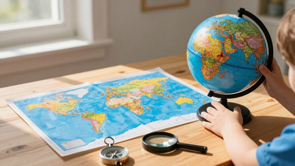
When you set up a 5‑minute daily geography routine, start by choosing a globe that shows current political borders and a blank world map for quick labeling. Spin the globe, spot a continent or country, then flip to the map and write its name in the space you’ve reserved. The globe gives you three‑dimensional, up‑to‑date context while the map lets you reinforce memory through hand‑labeling. Alternate days when you skip the atlas, forcing yourself to recall the location from the globe alone. Keep sessions brief—five to ten minutes—to stay curious and avoid fatigue. Rotate targets regularly, covering continents, oceans, countries, or major regions, so you build a solid, progressive geography foundation. Using interactive features like clickable knobs or realistic designs can similarly enhance learning engagement in other educational tools.
Use Blank Maps With Tracing Paper for Hands‑On Labeling
You’ll find that a simple blank map paired with tracing paper becomes a reusable learning tool you can pull out daily. As you trace borders and label cities, you’ll notice your spatial memory sharpening with each session. This hands‑on routine keeps geography fresh and builds confidence without needing a full atlas every time. Using tools that encourage hands-on learning and independence can enhance the effectiveness of daily geography practice.
Simple & Tracing
Ever wondered how a few minutes of tracing can turn a blank map into a vivid geography lesson? You grab a blank map, lay a sheet of tracing paper over it, and start outlining continents, oceans, or regions. The act of tracing forces you to notice each shape, so you associate the visual curve with its name without drowning in text. After a quick 5‑minute session, you’ve reinforced outline recognition and built a mental map that sticks.
Compare your simple labeled sheet with an adult atlas; you’ll see how detail and scale differ, sharpening your eye for accuracy. Use tracing as a bridge before moving to blank maps alone, ensuring each step deepens recall and confidence. Using comfortable and durable reading cushions can further enhance focus and engagement during geography lessons or map tracing activities.
Reusable Learning Tool
A blank map paired with tracing paper turns a simple sheet into a reusable learning tool that lets you trace coastlines, borders, and place names before labeling them. You’ll see how the tactile process sharpens fine‑motor skills while reinforcing spatial awareness. Each session lasts just five to ten minutes, so you can fit it into daily routines across grades. After tracing, you label the features, then compare your work with an atlas to verify accuracy. This low‑prep method works alongside globes, atlases, and wall maps, giving you a hands‑on way to build lasting geography knowledge.
| Benefit | How It Works |
|---|---|
| Reusability | Trace, erase, repeat on the same blank maps |
| Skill Development | Improves fine‑motor control and spatial reasoning |
| Quick Sessions | 5‑10‑minute activities fit any schedule |
|
Boosts Spatial Memory
Tracing coastlines and borders on a blank map with tracing paper does more than teach geography—it builds a lasting spatial memory. You’ll see how the simple act of drawing coastlines, borders, and place names reinforces core concepts, turning abstract locations into concrete, tactile experiences. Each repeat tracing sharpens your child’s ability to recall continents, oceans, and regions without staring at a fully labeled map. The routine is quick to set up, fits into a daily short session, and requires only a sheet of tracing paper and a blank map. By alternating between tracing‑based labeling and atlas work, they develop muscle memory for map features while also learning to reference independently. This incremental recall method makes geography engaging, precise, and effortlessly retained. Incorporating fine motor skill building activities similar to manipulating wooden spinning tops can further enhance your child’s hand-eye coordination and control during tracing.
Combine Your Globe and Atlas for Real‑World Exploration
How can you turn a simple globe and atlas into a daily adventure? You start by picking a blank map, then label five areas using the globe or atlas. Spend five to ten minutes recalling three new additions from the atlas to reinforce geography. Alternate days: one day you label with the atlas, the next you use a blank map. This back‑and‑forth builds memory and keeps practice consistent.
Younger kids can work with simplified maps, while older learners aim for precise labeling and transfer their notes to notebooking pages. Use Home School in the Woods map sets for world and U.S. maps, which include printable options. The routine stays relaxed, links to culture and population topics, and scales across grades. Integrating age-appropriate materials supports gradual learning and skill development.
Add Printable Flags and Fact‑Sheets for Notebooking
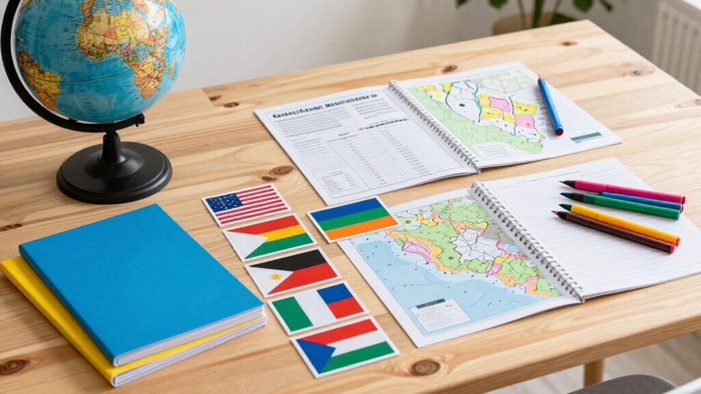
Ever wondered how a simple sheet of paper can turn a geography lesson into a vivid, hands‑on experience? Printable flags and fact‑sheets give you instant visual cues that stick in memory while you’re notebooking. Each flag comes with a one‑page fact‑sheet covering climate, location, capital, key details, so you can label, color,code, and annotate maps without flipping through a textbook. Download the packs or copy them to a disc for offline use, then slot them into your notebooking pages that already reserve space for observations, dates, and mnemonic notes. The result is a compact, cross‑curricular toolkit that links geography to culture, history, and world regions in a single, organized spread.
Turn a simple sheet of paper into a vivid, hands‑on geography lesson with printable flags and fact‑sheets.
- Country and state flags ready to print
- One‑page fact‑sheets with climate, capital, and key facts
- Notebooking pages designed for observations, dates, and mnemonics
Integrate a Timeline Kit to Reinforce Geographic Context in History
After you’ve colored flags and filled in fact‑sheets, the next step is to anchor those places in time. A timeline kit lets you match dates with maps, so kids see where a civilization rose while a river carved a valley. You can print wall‑size strips for a classroom‑wide view or notebook‑size pages for personal study, and the kit’s searchable figures make it easy to pull up a specific era. Including biblical figures broadens the narrative and links geography to cultural stories. Use the kit alongside maps and printable figures for a hands‑on, cross‑curricular approach that strengthens spatial‑temporal memory.
| Era | Key Event | Geographic Link |
|---|---|---|
| Ancient | Rise of Egypt | Nile Valley |
| Medieval | Silk Road trade | Eurasian steppe |
| Modern | Westward expansion | American Plains |
Hang a Large Wall Map or “Picture It!” Pin Map for Ongoing Visual Reference
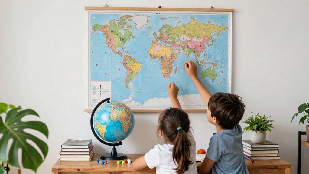
Ever wonder why a simple wall map can become the centerpiece of a homeschool day? You’ll find that a large wall map turns a room into a living atlas, sparking spontaneous chats about continents, climates, and cultures while you go about lessons. It stays visible, so kids absorb geography passively, matching the relaxed Charlotte Mason vibe. Pair it with a “Picture It!” pin map, and you get a tactile way to label capitals, rivers, or landmarks, cementing memory through touch. Both tools invite cross‑curricular talks—history, science, art—without extra prep, and they scale effortlessly for multiple ages.
- Hang the wall map at eye level for easy reference.
- Use colorful pins to mark new places each week.
- Rotate themes (e.g., “Oceans Month”) to keep interest fresh.
Employ Music‑Based Mnemonics and Free Online Printables for Fun Reinforcement
You can boost recall by singing mnemonic songs that list countries and flags while you work on free printable map worksheets.
Pair those tunes with interactive online mapping games to turn passive listening into active labeling.
The combination keeps learning lively, needs only a computer or speaker, and reinforces geography concepts from every angle.
Songs Mnemonic Songs
Ever wonder how a catchy tune can turn a list of countries into a memory‑friendly melody? You can tap into mnemonic songs to lock continents, capitals, and flag colors into your child’s mind. The rhythm repeats the sequence, so each lyric becomes a cue for a map label or a country name. Pair the song with a quick labeling activity, and the melody reinforces the visual cue, creating a multi‑sensory memory hook that sticks longer than rote memorization.
- YouTube playlists of geography‑themed mnemonic songs
- Printable lyric sheets that match map‑labeling exercises
- Simple clap‑and‑chant routines to practice cadence while reviewing flags
These tools blend music, movement, and visual learning, turning geography practice into a fun, repeatable routine.
Free Printable Map Worksheets
Looking for a quick, cost‑free way to turn geography practice into a lively, musical routine? You can grab free printable maps that pair rhythm with labeling tasks, so each continent or country becomes a catchy lyric. Use a blank‑world sheet for a quick daily drill, then cue a simple song to remember capitals. The same worksheets work with crayons, a globe, or an atlas, reinforcing skills without extra cost.
| Type | How to Use |
|---|---|
| Blank‑world | Sing a verse while you label oceans |
| Blank‑continent | Color each region to a beat |
| Blank‑country | Recite a mnemonic for capitals |
| Printable map | Cut and stick on a wall chart |
| Labeled map | Review with a short tune |
These free printable maps keep lessons short, engaging, and budget‑friendly.
Interactive Online Mapping Games
A handful of interactive online mapping games can turn geography practice into a lively, music‑driven experience that keeps elementary homeschoolers engaged. You’ll notice kids humming catchy country‑name verses while they drag pins onto blank continents, and the instant feedback nudges them toward mastery. Pair each session with free printable maps, and you’ll have a low‑prep, multimodal routine that reinforces location skills and capital recall across grade levels. The rhythm‑based mnemonics embed continents, flags, and alphabetical orderings into memory, so the learning sticks long after the screen fades.
- Rhythm‑driven quizzes that reward correct placement with short songs
- Printable blank maps that sync with on‑screen challenges for hands‑on labeling
- Progress trackers that unlock new musical levels as learners master continents
In addition, incorporating hands‑on materials like wooden geometric solids can further enhance spatial reasoning alongside geographical skills.
Frequently Asked Questions
How Often Should I Replace Worn‑Out Map Pages?
You should replace worn‑out map pages as soon as they’re torn, faded, or difficult to read—typically every semester or whenever the damage interferes with lessons, so kids stay engaged and accurate.
Can I Use a Digital Globe Instead of a Physical One?
Yes, you can replace the physical globe with a digital one, especially if you choose an interactive app that lets kids rotate, zoom, and explore layers. Just assure the screen’s resolution is clear and the content stays age‑appropriate.
What Age Is Appropriate for Introducing Latitude and Longitude?
You can start teaching latitude and longitude around ages 8‑10, when kids grasp basic map concepts. Keep explanations simple, use visual aids, and let them practice locating familiar places to reinforce understanding.
How Can I Adapt Activities for Children With Visual Impairments?
You can adapt activities by using tactile maps, raised‑relief globes, audio descriptions, braille labels, and hands‑on models; let kids explore textures, listen to location cues, and manipulate 3‑D terrain pieces.
Do I Need a Separate Compass for Map‑Reading Lessons?
You don’t need a separate compass; the same one works for map‑reading lessons as long as it’s accurate and easy to handle. Just keep it clean, store it safely, and teach kids how to orient it correctly.